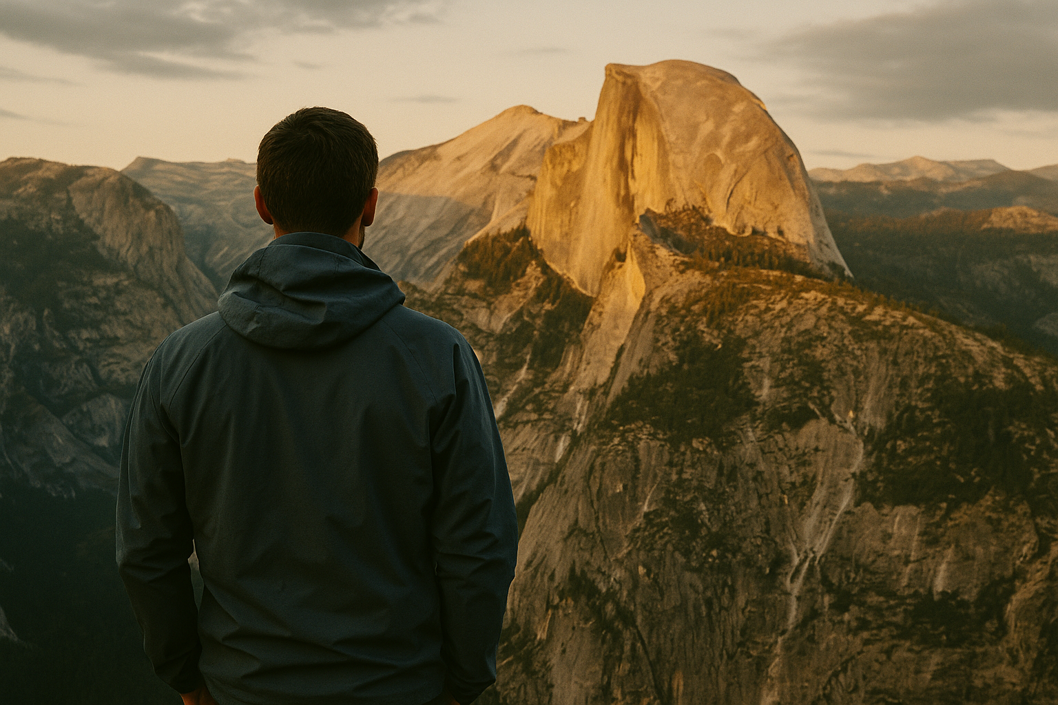
Bryce Canyon ◆ Utah
Bryce Canyon, the hoodoo amphitheater.
Not actually a canyon — a series of natural amphitheaters carved into the edge of the Paunsaugunt Plateau. The largest concentration of hoodoos on earth.
Field guide ◆ Bryce Canyon
Plan the trip.
Bryce Canyon isn't a canyon in the geological sense — it's a series of natural amphitheaters carved into the eastern edge of the Paunsaugunt Plateau in southern Utah. The result is the largest concentration of hoodoos (tall, thin spires of weathered rock) on earth, glowing red and orange against pine forest at the rim.
For a focused day: Sunrise at Sunrise Point. Hike the Navajo-Queen's Garden combination loop (2.9 miles) — the most-recommended dayhike in the park, descending into the amphitheater and back up. Drive the rim road to Bryce Point and Inspiration Point. Sunset wherever you started.
Pair with Zion (90 minutes away) or Capitol Reef. Bryce sits at 8,000-9,000 feet — bring layers, summer mornings can be in the 40s. Snow is possible from October through April; the rim is plowed, the amphitheater trails may not be.
On the map ◆
Where you're going.
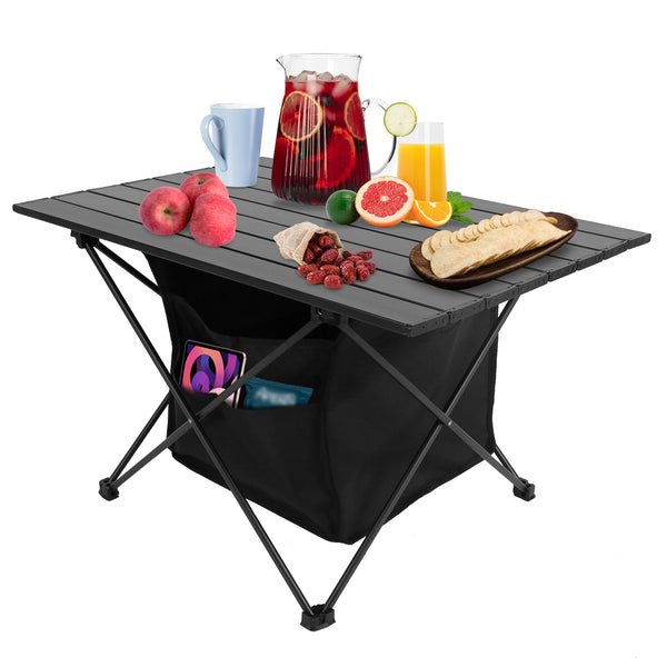
Pack the kit ◆ For Bryce Canyon
What to bring.
Trip-tested picks for this destination — gear that's earned its place across multiple visits.
 View Product +
 View Product +
 View Product +
 View Product +
Get the trip-planning newsletter.
Once a month: one route worth driving for, one piece of gear worth knowing, and 10% off your first order.