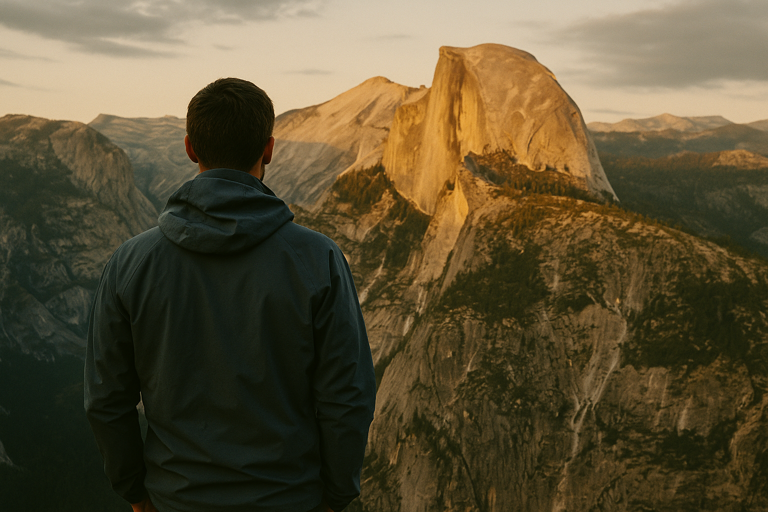
Crater Lake ◆ Oregon
Crater Lake, the bluest water in America.
Formed when Mt Mazama erupted 7,700 years ago and collapsed into itself. The deepest lake in the United States, fed entirely by snowmelt and rain. The blue is a real color — not a filter.
Field guide ◆ Crater Lake
Plan the trip.
Crater Lake formed when Mount Mazama, a 12,000-foot stratovolcano in the Oregon Cascades, erupted catastrophically about 7,700 years ago and collapsed inward — leaving a 5-mile-wide caldera that filled over centuries with snowmelt and rainwater. There are no rivers in or out. The result is the deepest lake in the United States (1,943 feet) and one of the bluest bodies of water on earth — a color that's not photographic exaggeration but a function of pure water and depth.
For 2 days: Drive Rim Drive (33 miles around the caldera) on day one, stopping at every overlook. Hike the Garfield Peak trail (3.6 miles) for the best lookdown view. On day two, take the boat to Wizard Island (the volcanic cone in the lake itself) — only way to actually touch the water. Reservations required.
Best window: late July through September. The park gets 43 feet of snow annually; Rim Drive doesn't open until July most years. Mazama Village campground has reservable sites. Combine with Oregon coast or Bend for a longer Pacific Northwest trip.
On the map ◆
Where you're going.
Pack the kit ◆ For Crater Lake
What to bring.
Trip-tested picks for this destination — gear that's earned its place across multiple visits.
 View Product +
 View Product +
 View Product +
 View Product +

Get the trip-planning newsletter.
Once a month: one route worth driving for, one piece of gear worth knowing, and 10% off your first order.