Death Valley ◆ California / Nevada
Death Valley, the lowest, hottest, driest.
282 feet below sea level at Badwater. Hottest air temperature ever recorded on earth (134°F). 3.4 million acres of geological extreme.
Field guide ◆ Death Valley
Plan the trip.
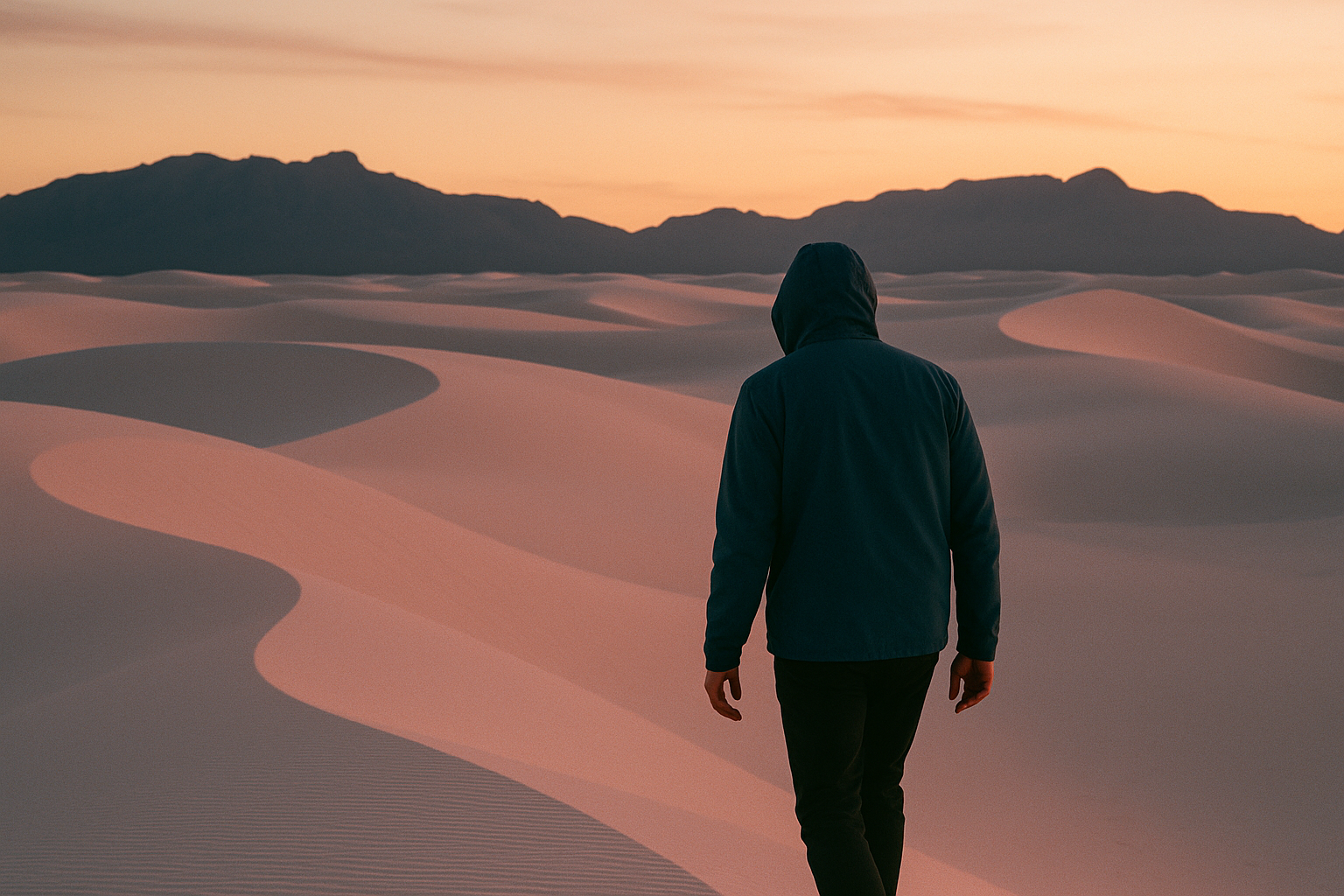
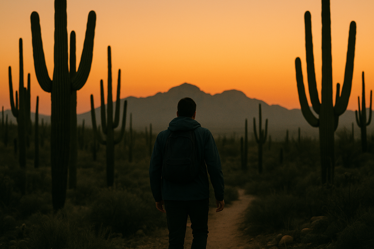
Death Valley National Park covers 3.4 million acres in eastern California and a slice of Nevada — the largest national park outside Alaska. The valley floor at Badwater Basin is 282 feet below sea level (lowest point in North America). The air temperature record set at Furnace Creek in 1913 is 134°F (highest ever recorded on earth). And the place gets less than 2 inches of rain in an average year.
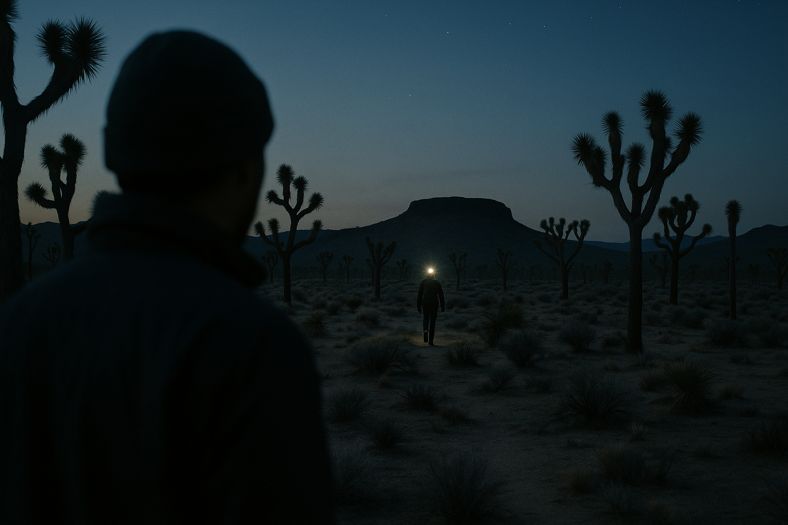
For 2 days: Day 1, drive into the park via Dante's View (5,475 feet up, looking down a vertical mile to Badwater). Walk on the salt flats at Badwater. Drive Artist's Palette in afternoon light. Day 2, hike Golden Canyon (2 miles, narrow slot canyon). Mesquite Flat Sand Dunes at sunset. Stargazing — Death Valley is an International Dark Sky Park.
Best window: November to March. Summer is genuinely dangerous — multiple deaths every year. Pack much more water than you think (1 gallon per person per day minimum). Cell signal is spotty; download maps offline.
On the map ◆
Where you're going.
Pack the kit ◆ For Death Valley
What to bring.
Trip-tested picks for this destination — gear that's earned its place across multiple visits.
 View Product +
 View Product +
 View Product +
 View Product +
Get the trip-planning newsletter.
Once a month: one route worth driving for, one piece of gear worth knowing, and 10% off your first order.