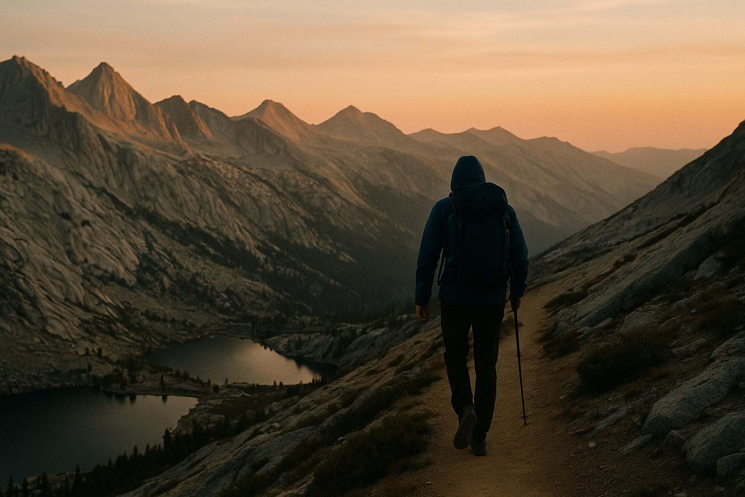
John Muir Trail ◆ Sierra Nevada / CA
The John Muir Trail, the Sierra crown.
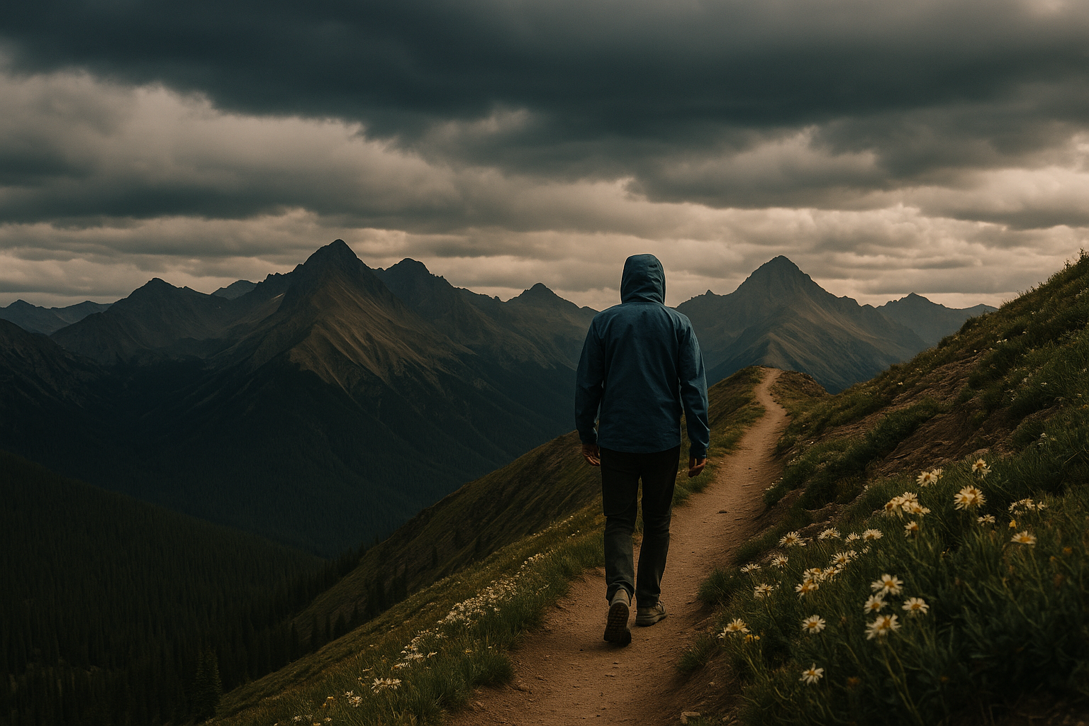
211 miles from Yosemite to Mt Whitney along the spine of the High Sierra. The most concentrated alpine grandeur on any American trail.
Field guide ◆ John Muir Trail
Plan the trip.
The John Muir Trail runs 211 miles from Happy Isles in Yosemite Valley to the summit of Mt Whitney — the highest point in the contiguous United States — entirely within California's Sierra Nevada. It overlaps the Pacific Crest Trail for most of its length, but is named separately and culturally distinct. Most people who hike the JMT are doing it for itself, not as part of a longer thru-hike.
Permits are by lottery — apply in February for a summer trip. Trailhead options: most start at Happy Isles in Yosemite and finish atop Whitney (NOBO is more popular but harder logistically); the reverse start at Whitney Portal is easier to permit but harder to physically begin (you start by climbing Whitney). Resupply at Tuolumne Meadows, Reds Meadow, and Muir Trail Ranch.
Best window: July through mid-September. Snow can linger into July at higher passes; September is cold and golden. Bear canisters required entire route. Allow 18-22 days for a comfortable pace.
On the map ◆
Where you're going.
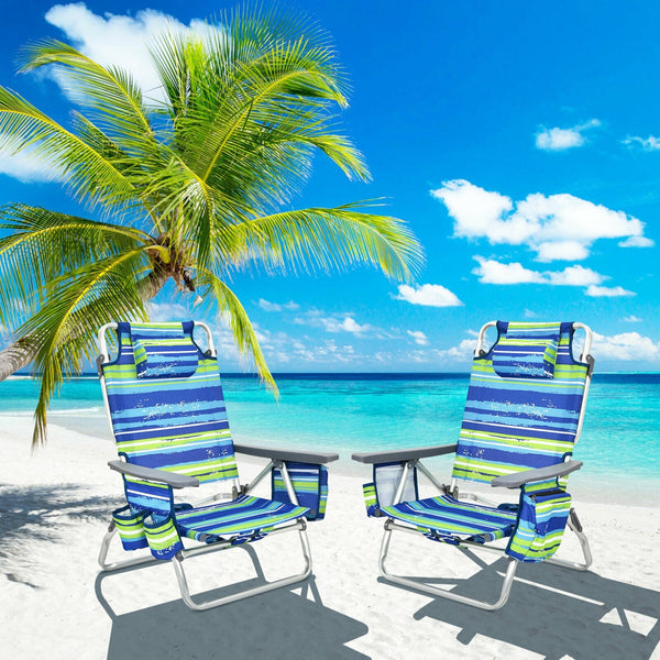
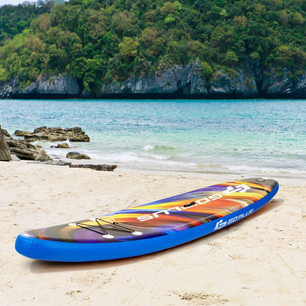
Pack the kit ◆ For John Muir Trail
What to bring.
Trip-tested picks for this destination — gear that's earned its place across multiple visits.
 View Product +
 View Product +
 View Product +
 View Product +
Get the trip-planning newsletter.
Once a month: one route worth driving for, one piece of gear worth knowing, and 10% off your first order.