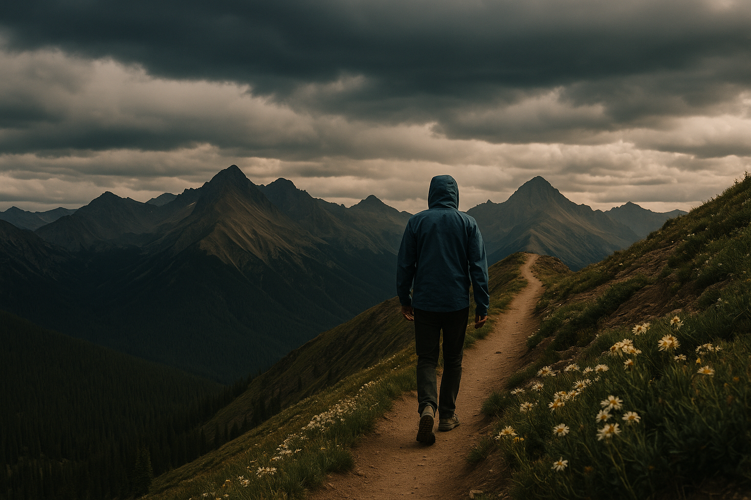
Pacific Crest Trail ◆ Mexico to Canada / CA-OR-WA
The Pacific Crest Trail, 2,650 miles of crest.
Mexico to Canada along the spine of the Sierra Nevada and Cascade ranges. 2,650 miles. About 700 thru-hikers complete it each year.
Field guide ◆ Pacific Crest Trail
Plan the trip.
The Pacific Crest Trail runs 2,650 miles from the Mexican border at Campo, California to the Canadian border at Manning Park, British Columbia — following the crest of the Sierra Nevada and Cascade Ranges. About 700 people complete it as a thru-hike each year, taking four to six months. Many more do it in sections.
For section hikers: the most popular stretches include the John Muir Trail section (211 miles, Yosemite to Mt Whitney — actually a separate trail that overlaps the PCT), the Goat Rocks Wilderness traverse in Washington, the Three Sisters in Oregon, and the Desolation Wilderness in Tahoe. Even a 2-3 day section out and back from any trailhead in the Sierras puts you in proper PCT country.
Long-distance permits (issued by the Pacific Crest Trail Association) are required for any continuous trip over 500 miles. For weekend section hikes you generally need only the wilderness permit for the relevant area. Bear cans are required in the Sierras.
On the map ◆
Where you're going.
Pack the kit ◆ For Pacific Crest Trail
What to bring.
Trip-tested picks for this destination — gear that's earned its place across multiple visits.
 View Product +
 View Product +
 View Product +
 View Product +


Get the trip-planning newsletter.
Once a month: one route worth driving for, one piece of gear worth knowing, and 10% off your first order.